.jpg)
Address
H5, Sonargoun Janapath Road
Secor-7, Uttara, Dhaka, Bangladesh


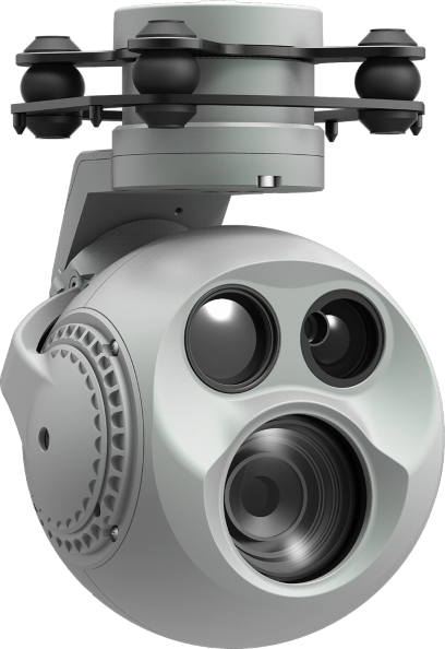
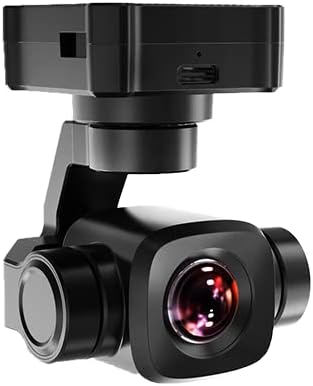
Capture stunning aerial photography and videography with precision.
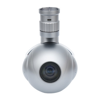
Accurate 3D mapping and terrain analysis for survey missions.
Detect heat signatures for rescue missions and inspections.
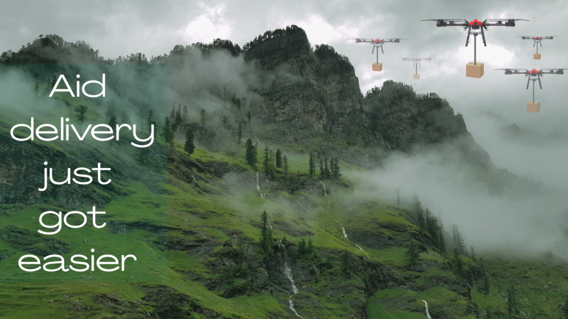
Autonomous, Intelligent, Digital Industry Solutions
View All Solutions
Expand your perspective from the ground to the sky
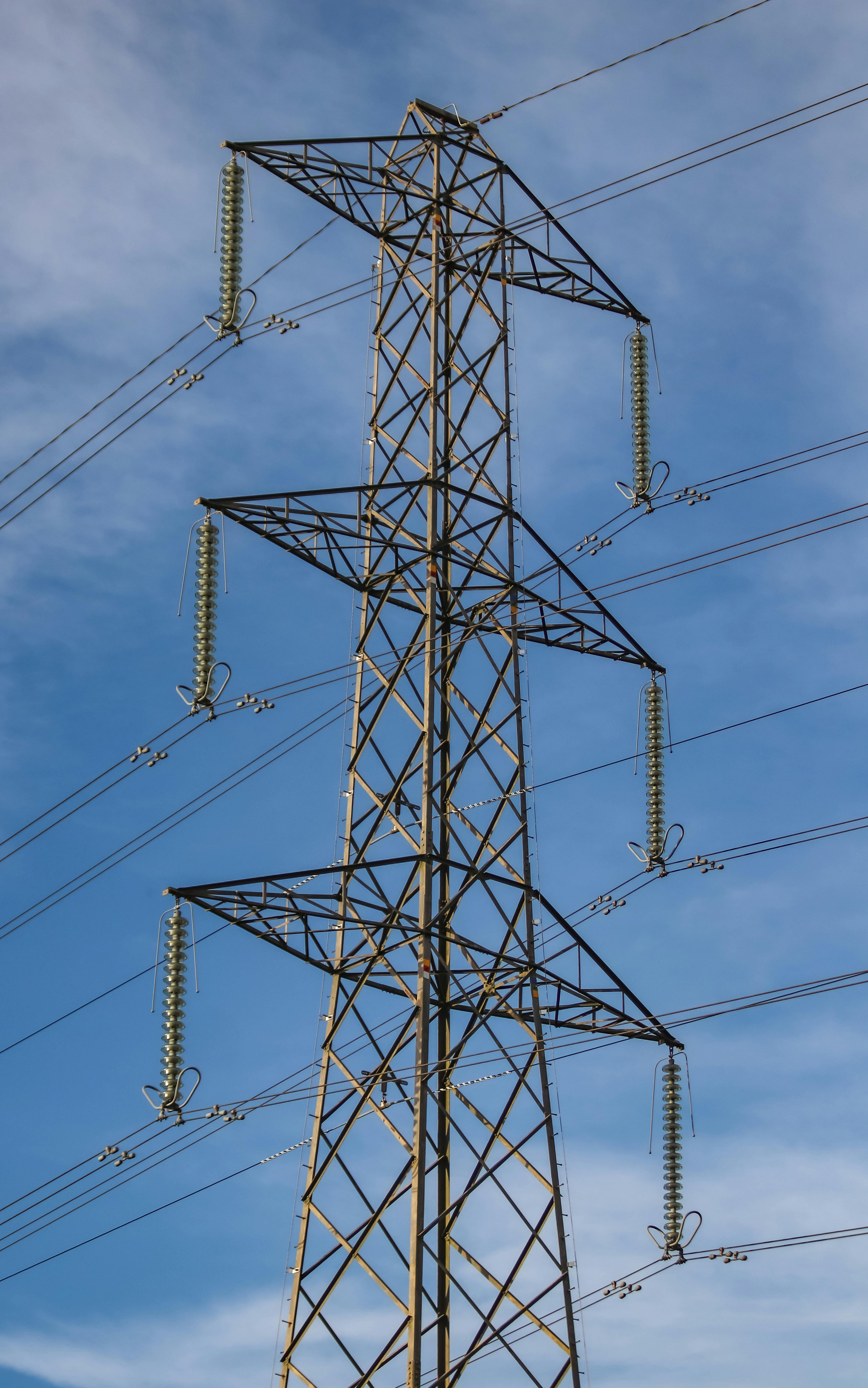
Increases inspection frequency and coverage, enhances maintenance and reduces operational risk

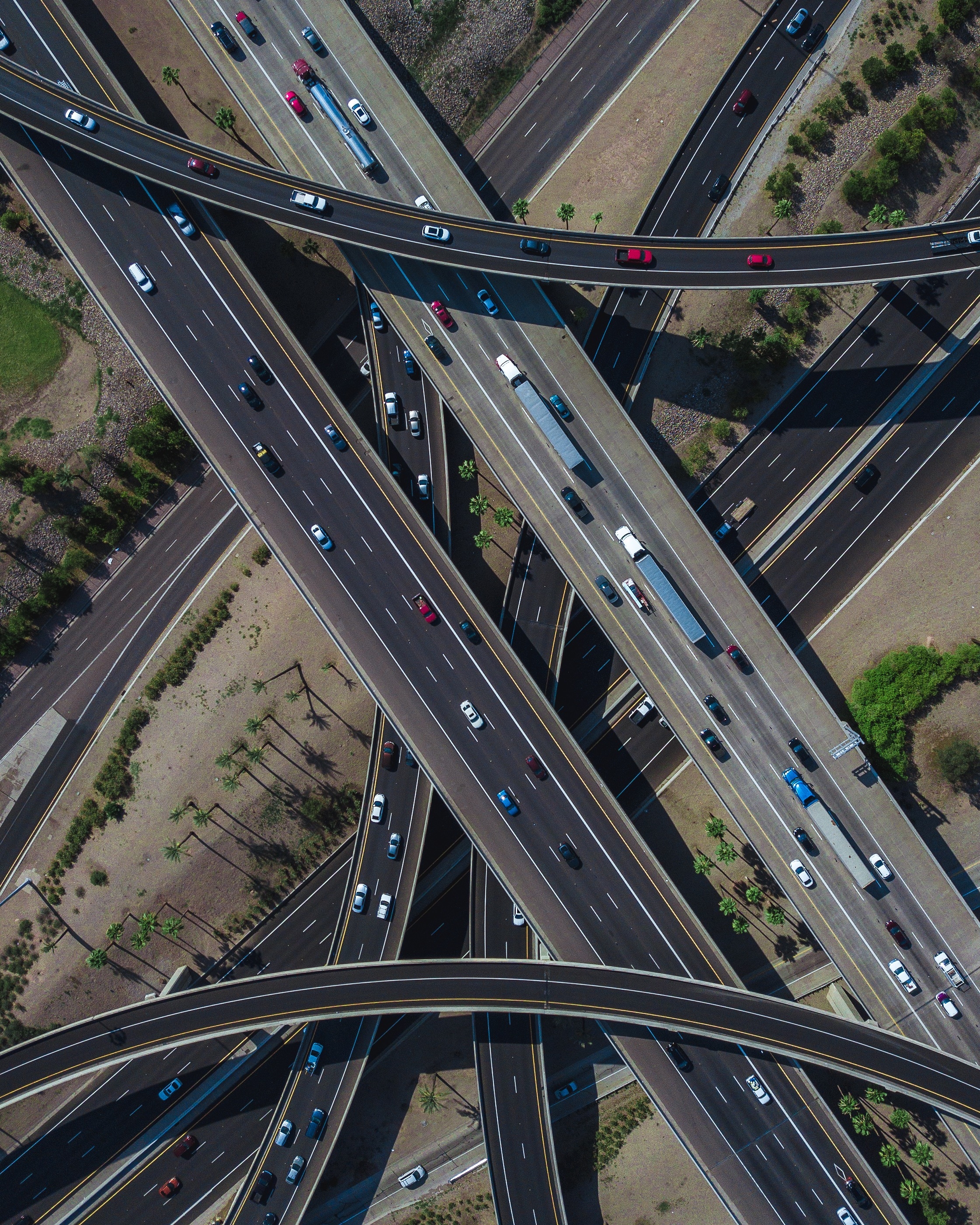
Enhancing surveying and mapping accuracy with accurate data and precision analysis
Bringing creative visions to life from above with high end aerial visuals